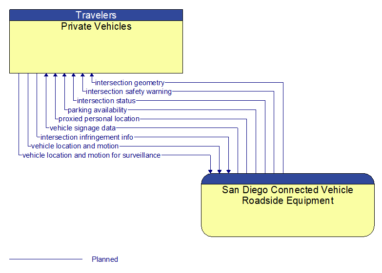
Interface: Private Vehicles - San Diego Connected Vehicle Roadside Equipment
Information Flow Definitions
intersection geometry (Planned)
The physical geometry of an intersection covering the location and width of each approaching lane, egress lane, and valid paths between approaches and egresses. This flow also defines the location of stop lines, cross walks, specific traffic law restrictions for the intersection (e.g., turning movement restrictions), and other elements that support calculation of a safe and legal vehicle path through the intersection.
intersection infringement info (Planned)
Vehicle path information sent by a vehicle that is performing an unpermitted movement at an intersection such as a stop sign violation or running a red light. This also includes information about possible conflicts with other road users in the vehicle's path, including a range of uncontrolled intersection scenarios that could be covered by this flow. This flow does not include permanent ids; only temporary ones that allow monitoring of the vehicle as it moves across the intersection.
intersection safety warning (Planned)
A warning of an imminent unsafe vehicle infringement at an intersection that may endanger other vehicles or pedestrians. This allows vehicles approaching the intersection to be warned in the event of an imminent red light or stop sign violation or potential infringement on an occupied crosswalk. All connected vehicles and personal devices near the intersection receive the warning.
intersection status (Planned)
Current signal phase and timing information for all lanes at a signalized intersection. This flow identifies active lanes and lanes that are being stopped and specifies the length of time that the current state will persist for each lane. It also identifies signal priority and preemption status and pedestrian crossing status information where applicable.
parking availability (Planned)
Information on available parking. This flow identifies available spaces with associated information about parking restrictions and location for each available space. Specifically includes information on parking for commercial vehicles, coaches/buses, and cars – and likely also motorcycles, electric vehicle plugins, etc.
proxied personal location (Planned)
Relay of pedestrian, bicyclist, and other non–motorized user locations at an intersection. This relay or rebroadcast of personal locations supports coordination between motorized and non–motorized users that do not have interoperable communications capability.
vehicle location and motion (Planned)
Data describing the vehicle's location in three dimensions, heading, speed, acceleration, braking status, and size.
vehicle location and motion for surveillance (Planned)
Data describing the vehicle's location in three dimensions, heading, speed, acceleration, braking status, and size. This flow represents monitoring of basic safety data ('vehicle location and motion') broadcast by passing connected vehicles for use in vehicle detection and traffic monitoring applications.
vehicle signage data (Planned)
In–vehicle signing data that augments regulatory, warning, and informational road signs and signals. The information provided would include static sign information (e.g., stop, curve warning, guide signs, service signs, and directional signs) and dynamic information (e.g., local traffic and road conditions, lane restrictions, work zones, detours, closures, advisories, and warnings).