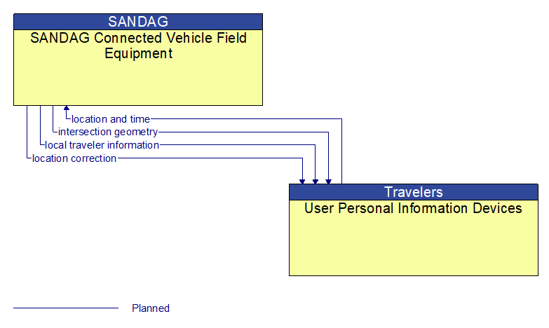
Interface: SANDAG Connected Vehicle Field Equipment - User Personal Information Devices
Information Flow Definitions
intersection geometry (Planned)
The physical geometry of an intersection covering the location and width of each approaching lane, egress lane, and valid paths between approaches and egresses. This flow also defines the location of stop lines, cross walks, specific traffic law restrictions for the intersection (e.g., turning movement restrictions), and other elements that support calculation of a safe and legal vehicle path through the intersection.
local traveler information (Planned)
Traveler information including traffic, road, and weather conditions for a particular locality. This flow includes the location–specific traveler information and time effectivity of the information.
location and time (Planned)
The current geographic location in three dimensions (latitude, longitude, elevation) and the current time.
location correction (Planned)
Information provided to improve positional accuracy. These corrections allow a mobile GPS receiver, such as a GPS system in a connected vehicle, to achieve a
greater absolute positional accuracy, compensating for errors that exist in satellite positioning.