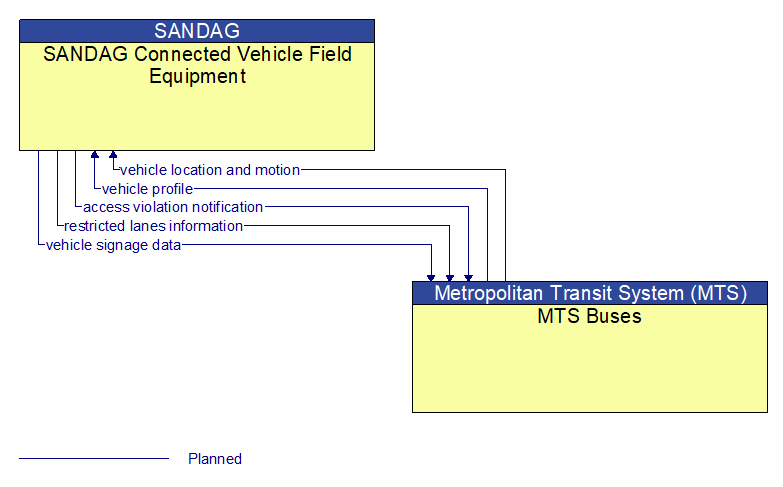
Interface: SANDAG Connected Vehicle Field Equipment - MTS Buses
Information Flow Definitions
access violation notification (Planned)
Notification that an individual vehicle or user has committed an access violation. The flow identifies the nature of the violation and the time and location where the violation was recorded.
restricted lanes information (Planned)
This flow defines the location, duration, and operating parameters for lanes that are reserved for the exclusive use of certain types of vehicles (e.g., transit vehicles) or vehicles that meet other qualifications (e.g., number of occupants, low emissions criteria). It identifies the lane(s), the start and stop locations, start and end times, vehicle restrictions, speed limits and platooning parameters.
vehicle location and motion (Planned)
Data describing the vehicle's location in three dimensions, heading, speed, acceleration, braking status, and size.
vehicle profile (Planned)
Information about a vehicle such as vehicle make and model, fuel type, engine type, size and weight, vehicle performance and level of control automation, average emissions, average fuel consumption, passenger occupancy, or other data that can be used to classify vehicle eligibility for access to specific lanes, road segments, or regions or participation in cooperative vehicle control applications.
vehicle signage data (Planned)
In–vehicle signing data that augments regulatory, warning, and informational road signs and signals. The information provided would include static sign information (e.g., stop, curve warning, guide signs, service signs, and directional signs) and dynamic information (e.g., local traffic and road conditions, lane restrictions, work zones, detours, closures, advisories, and warnings).