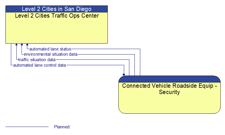
Interface: Level 2 Cities Traffic Ops Center - Connected Vehicle Roadside Equip - Security
Information Flow Definitions
automated lane control data (Planned)
Control commands and operating parameters for automated vehicle operations, including tightly coupled platooned groups of vehicles operating in dedicated or mixed–mode lanes. This flow includes platoon parameters including maximum platoon size, target speeds and gaps, and vehicle restrictions.
automated lane status (Planned)
Current operational status of lanes supporting automated vehicle operations. The flow includes the status of the RSEs, associated field equipment, and vehicles using the facility.
environmental situation data (Planned)
Aggregated and filtered vehicle environmental data collected from vehicle safety and convenience systems including measured air temperature, exterior light status, wiper status, sun sensor status, rain sensor status, traction control status, anti–lock brake status, and other collected vehicle system status and sensor information. This information flow represents the aggregated and filtered environmental data sets that are provided by the RSE to the back office center. Depending on the RSE configuration and implementation, the data set may also include environmental sensor station data collected by the RSE.
traffic situation data (Planned)
Current, aggregate traffic data collected from connected vehicles that can be used to supplement or replace information collected by roadside traffic detectors. It includes raw and/or processed reported vehicle speeds, counts, and other derived measures. Raw and/or filtered vehicle control events may also be included to support incident detection.