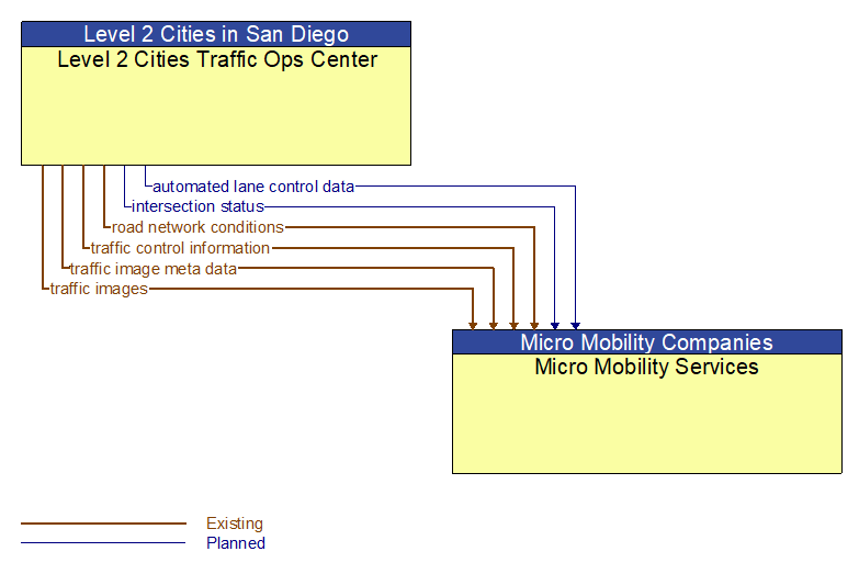
Interface: Level 2 Cities Traffic Ops Center - Micro Mobility Services
Information Flow Definitions
automated lane control data (Planned)
Control commands and operating parameters for automated vehicle operations, including tightly coupled platooned groups of vehicles operating in dedicated or mixed–mode lanes. This flow includes platoon parameters including maximum platoon size, target speeds and gaps, and vehicle restrictions.
intersection status (Planned)
Current signal phase and timing information for all lanes at a signalized intersection. This flow identifies active lanes and lanes that are being stopped and specifies the length of time that the current state will persist for each lane. It also identifies signal priority and preemption status and pedestrian crossing status information where applicable.
road network conditions (Existing)
Current and forecasted traffic information, road and weather conditions, and other road network status. Either raw data, processed data, or some combination of both may be provided by this flow. Information on diversions and alternate routes, closures, and special traffic restrictions (lane/shoulder use, weight restrictions, width restrictions, HOV requirements) in effect is included.
traffic control information (Existing)
Represents the flow of traffic control and status information between centers. This is reporting only, not actual control. This specifically includes the current state of any demand management strategies that have been implemented.
traffic image meta data (Existing)
Meta data that describes traffic images. Traffic images (video) are in another flow.
traffic images (Existing)
High fidelity, real–time traffic images suitable for surveillance monitoring by the operator or for use in machine vision applications. This flow includes the images. Meta data that describes the images is contained in another flow.