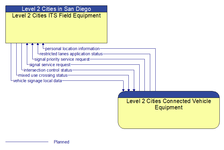
Interface: Level 2 Cities ITS Field Equipment - Level 2 Cities Connected Vehicle Equipment
Information Flow Definitions
intersection control status (Planned)
Status data provided by the traffic signal controller including phase information, alarm status, and priority/preempt status.
mixed use crossing status (Planned)
Current pedestrian and other mixed use crossing information including an indication of whether the call button has been activated, the current state of the mixed use crossing signal, and information indicating whether non–motorized users are currently occupying the cross walk.
personal location information (Planned)
Pedestrian, bicyclist, and other non–motorized user locations at an intersection as detected and reported by an RSE.
restricted lanes application status (Planned)
Current RSE application status that is monitored by the back office center including the operational state of the RSE, current configuration parameters, and a log of lane use (aggregate profiles of vehicles that checked in to the lane and reported vehicle speeds in the lanes) and RSE communications activity.
signal priority service request (Planned)
A service request for vehicle priority issued to a traffic signal controller that results in green extension or other accommodation for the priority vehicle, within the current signal timing plan. The request includes the priority level, the desired time and duration of service, and the intended travel path through the intersection. This flow also allows the RSE to cancel a previously issued request for priority.
signal service request (Planned)
A call for service or extension for a signal control phase that is issued by the RSE for connected vehicles approaching an intersection and/or pedestrians at a crosswalk. This flow identifies the desired phase and service time.
vehicle signage local data (Planned)
Information provided by adjacent field equipment to support in–vehicle signing of dynamic information that is currently being displayed to passing drivers. This includes the dynamic information (e.g., local traffic and road conditions, work zone information, lane restrictions, detours, closures, advisories, parking availability, etc.) and control parameters that identify the desired timing, duration, and priority of the signage data.