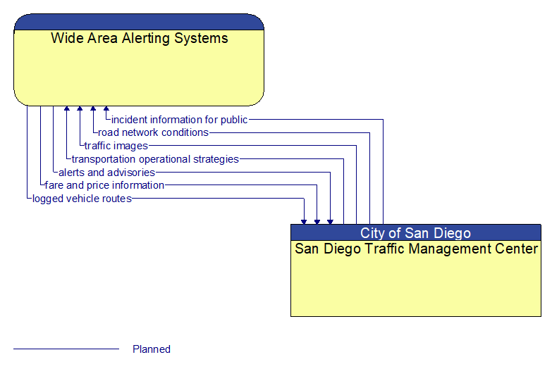
Interface: Wide Area Alerting Systems - San Diego Traffic Management Center
Information Flow Definitions
alerts and advisories (Planned)
Assessments (general incident and vulnerability awareness information), advisories (identification of threats or recommendations to increase preparedness levels), and alerts (information on imminent or in–progress emergencies). This flow also provides supporting descriptive detail on incidents, threats, and vulnerabilities to increase preparedness and support effective response to threats against the surface transportation system.
fare and price information (Planned)
Current transit, parking, and toll fee schedule information.
incident information for public (Planned)
Report of current desensitized incident information prepared for public dissemination.
logged vehicle routes (Planned)
Anticipated route information for guided vehicles, special vehicles (e.g., oversize vehicles) or groups of vehicles (e.g., governor's motorcade) that may require changes in traffic control strategy.
road network conditions (Planned)
Current and forecasted traffic information, road and weather conditions, and other road network status. Either raw data, processed data, or some combination of both may be provided by this flow. Information on diversions and alternate routes, closures, and special traffic restrictions (lane/shoulder use, weight restrictions, width restrictions, HOV requirements) in effect is included.
traffic images (Planned)
High fidelity, real–time traffic images suitable for surveillance monitoring by the operator or for use in machine vision applications. This flow includes the images. Meta data that describes the images is contained in another flow.
transportation operational strategies (Planned)
Operational strategies for each operating agency in a transportation corridor, downtown area, or other travel–impacted area, providing an integrated operations strategy for the freeways, tollways, arterials, transit services, parking facilities, and other transportation–related facilities in the area. These strategies can include dynamic adjustments to transit fares and tolls, parking fees and restrictions, dynamic lane restriction changes, and other active demand management strategies.