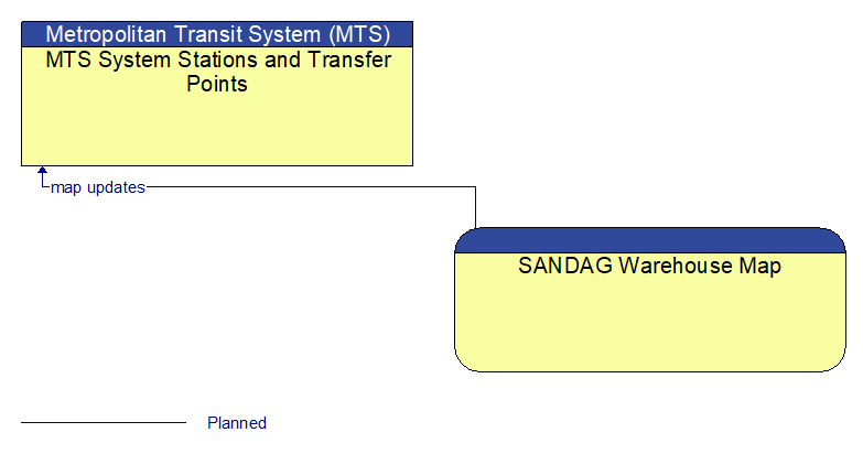
Interface: MTS System Stations and Transfer Points - SANDAG Warehouse Map
Information Flow Definitions
map updates (Planned)
Map update that could include a new underlying static or real–time map or map layer(s) update. Map layers can include highways, major roads, streets, public transport routes, pedestrian routes, topography, points of interest, and regulatory information including turn restrictions and speed limits.