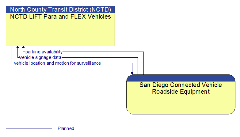
Interface: NCTD LIFT Para and FLEX Vehicles - San Diego Connected Vehicle Roadside Equipment
Information Flow Definitions
parking availability (Planned)
Information on available parking. This flow identifies available spaces with associated information about parking restrictions and location for each available space. Specifically includes information on parking for commercial vehicles, coaches/buses, and cars – and likely also motorcycles, electric vehicle plugins, etc.
vehicle location and motion for surveillance (Planned)
Data describing the vehicle's location in three dimensions, heading, speed, acceleration, braking status, and size. This flow represents monitoring of basic safety data ('vehicle location and motion') broadcast by passing connected vehicles for use in vehicle detection and traffic monitoring applications.
vehicle signage data (Planned)
In–vehicle signing data that augments regulatory, warning, and informational road signs and signals. The information provided would include static sign information (e.g., stop, curve warning, guide signs, service signs, and directional signs) and dynamic information (e.g., local traffic and road conditions, lane restrictions, work zones, detours, closures, advisories, and warnings).