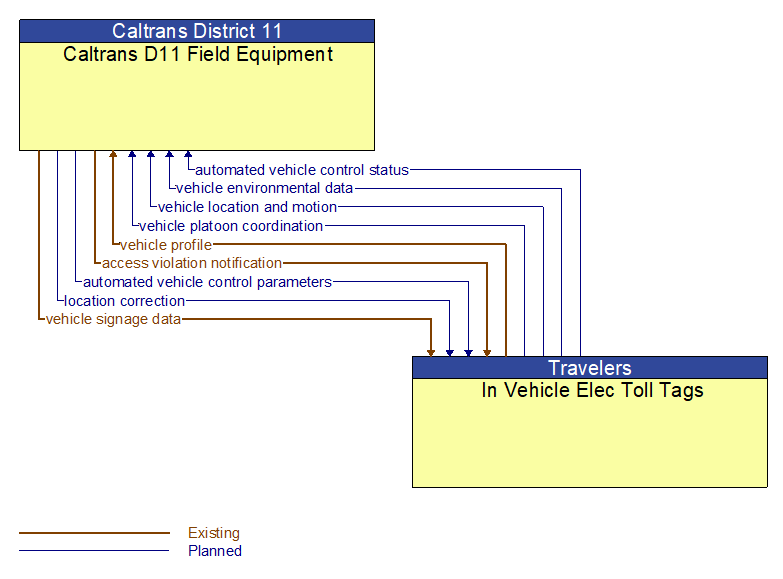
Interface: Caltrans D11 Field Equipment - In Vehicle Elec Toll Tags
Information Flow Definitions
access violation notification (Existing)
Notification that an individual vehicle or user has committed an access violation. The flow identifies the nature of the violation and the time and location where the violation was recorded.
automated vehicle control parameters (Planned)
Information, instructions, and control parameters for automated vehicle operations including current system conditions and advisories, control parameters (e.g., speed, required vehicle performance profiles, gaps or headways) and check in/checkout instructions.
automated vehicle control status (Planned)
Data provided by a connected vehicle identifying it's current mode and operational status and information provided to support check–in/checkout of the lane and coordinated maneuvers while on the automated facility.
location correction (Planned)
Information provided to improve positional accuracy. These corrections allow a mobile GPS receiver, such as a GPS system in a connected vehicle, to achieve a
greater absolute positional accuracy, compensating for errors that exist in satellite positioning.
vehicle environmental data (Planned)
Data from vehicle safety and convenience systems that can be used to estimate environmental and infrastructure conditions, including measured air temperature, exterior light status, wiper status, sun sensor status, rain sensor status, traction control status, anti–lock brake status, vertical acceleration and other collected vehicle system status and sensor information. The collected data is reported along with the location, heading, and time that the data was collected. Both current data and snapshots of recent events (e.g., traction control or anti–lock brake system activations) may be reported.
vehicle location and motion (Planned)
Data describing the vehicle's location in three dimensions, heading, speed, acceleration, braking status, and size.
vehicle platoon coordination (Planned)
Coordination of control commands between leader and follower vehicles allowing vehicles to join, coordinate with, and separate from platoons of cooperative vehicles. This flow shares platoon size, location, and performance parameters (e.g., platoon speed and spacing) between platooned vehicles. It also coordinates maneuvers between platooned vehicles, including maneuvers as vehicles join and leave the platoon.
vehicle profile (Existing)
Information about a vehicle such as vehicle make and model, fuel type, engine type, size and weight, vehicle performance and level of control automation, average emissions, average fuel consumption, passenger occupancy, or other data that can be used to classify vehicle eligibility for access to specific lanes, road segments, or regions or participation in cooperative vehicle control applications.
vehicle signage data (Existing)
In–vehicle signing data that augments regulatory, warning, and informational road signs and signals. The information provided would include static sign information (e.g., stop, curve warning, guide signs, service signs, and directional signs) and dynamic information (e.g., local traffic and road conditions, lane restrictions, work zones, detours, closures, advisories, and warnings).