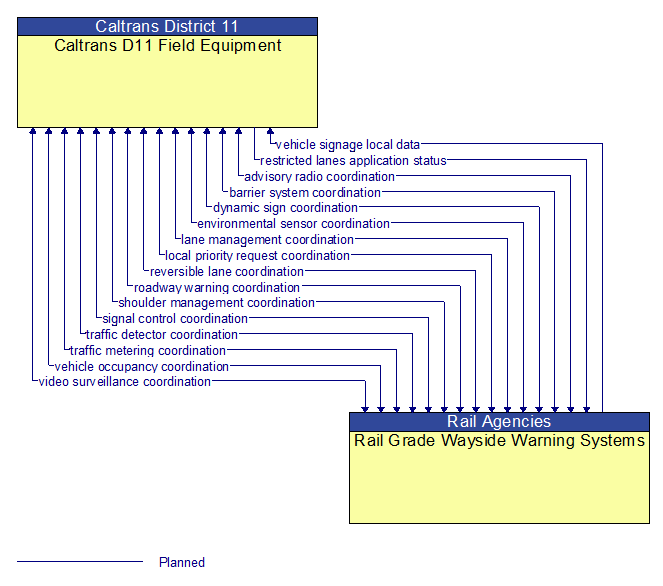
Interface: Caltrans D11 Field Equipment - Rail Grade Wayside Warning Systems
Information Flow Definitions
advisory radio coordination (Planned)
The direct flow of information between field equipment. This includes information used to initialize, configure, and control roadside highway advisory radio including message content and delivery attributes, local message store maintenance requests, control mode commands, status queries, and all other commands and associated parameters that support local monitoring and management of these systems.
barrier system coordination (Planned)
The direct flow of information between field equipment. This includes information used to configure and control barrier systems that are represented by gates, barriers and other automated or remotely controlled systems used to manage entry to roadways. Current operating status of barrier systems is also shared including operating condition and current operational state.
dynamic sign coordination (Planned)
The direct flow of information between field equipment. This includes information used to initialize, configure, and control dynamic message signs. This flow can provide message content and delivery attributes, local message store maintenance requests, control mode commands, status queries, and all other commands and associated parameters that support local management of these devices. Current operating status of dynamic message signs is returned.
environmental sensor coordination (Planned)
The direct flow of information between field equipment. This includes configuration and control of environmental sensors and the current road conditions (e.g., surface temperature, subsurface temperature, moisture, icing, treatment status) and surface weather conditions (e.g., air temperature, wind speed, precipitation, visibility) as measured and reported by fixed and/or mobile environmental sensors. Operational status of the sensors is also included.
lane management coordination (Planned)
The direct flow of information between field equipment. This includes information used to configure and control dynamic lane management systems and the status of managed lanes including current operational state, violations, and logged information. This also includes lane usage information including both traditional traffic flow measures and special information associated with managed lanes such as measured passenger occupancies. It also includes the operational status of the lane management equipment.
local priority request coordination (Planned)
The direct flow of information between field equipment. This includes notification of crossing calls from pedestrians and other vulnerable road users and requests for signal prioritization or preemption, and any other request for right–of–way at an intersection. The status of the priority request is also shared. For vulnerable road users, this includes information provided to guide and warn vulnerable road users at crossings including crossing permission status and crossing time remaining.
restricted lanes application status (Planned)
Current RSE application status that is monitored by the back office center including the operational state of the RSE, current configuration parameters, and a log of lane use (aggregate profiles of vehicles that checked in to the lane and reported vehicle speeds in the lanes) and RSE communications activity.
reversible lane coordination (Planned)
The direct flow of information between field equipment. This includes control of automated reversible lane configuration and driver information systems and current reversible lane status including the operational status and mode of the reversible lane control equipment.
roadway warning coordination (Planned)
The direct flow of information between field equipment. This includes information used to configure and control roadway warning systems and the current operating status of roadway warning systems.
shoulder management coordination (Planned)
The direct flow of information between field equipment. This includes information used to configure and control systems that allow use of a shoulder as a lane for vehicular traffic and current status of shoulder use, the current operational state of the equipment and identified violations.
signal control coordination (Planned)
The direct flow of information between field equipment. This includes configuration and control of traffic signal controllers or field masters. Configuration data and operational status of traffic signal control equipment including operating condition and current indications are returned.
traffic detector coordination (Planned)
The direct flow of information between field equipment. This includes information used to configure and control traffic detector systems such as inductive loop detectors and machine vision sensors Raw and/or processed traffic detector data is returned that allows derivation of traffic flow variables (e.g., speed, volume, and density measures) and associated information (e.g., congestion, potential incidents). This flow includes the traffic data and the operational status of the traffic detectors
traffic metering coordination (Planned)
The direct flow of information between field equipment. This includes control commands and operating parameters for ramp meters, interchange meters, mainline meters, and other systems equipment associated with roadway metering operations. Current operational status of the traffic metering status is also provided.
vehicle occupancy coordination (Planned)
The direct flow of information between field equipment. This flow shares the number of occupants detected in passing vehicles as well as the status of the vehicle occupant counting equipment, if applicable.
vehicle signage local data (Planned)
Information provided by adjacent field equipment to support in–vehicle signing of dynamic information that is currently being displayed to passing drivers. This includes the dynamic information (e.g., local traffic and road conditions, work zone information, lane restrictions, detours, closures, advisories, parking availability, etc.) and control parameters that identify the desired timing, duration, and priority of the signage data.
video surveillance coordination (Planned)
The direct flow of information between field equipment. This includes information used to configure and control video surveillance systems and the high fidelity, real–time traffic images and associated meta data that are returned.